
How to check Mississippi hunting seasons and zones
Match your date, species and property to the current MDWFP season table, then check the rules for the land you plan to visit.
Choose the right station, read the trend and understand what a water-level graph can tell you about a day in Mississippi’s low country.
Linked product names open Amazon. As an Amazon Associate I earn from qualifying purchases. Affiliate disclosure.
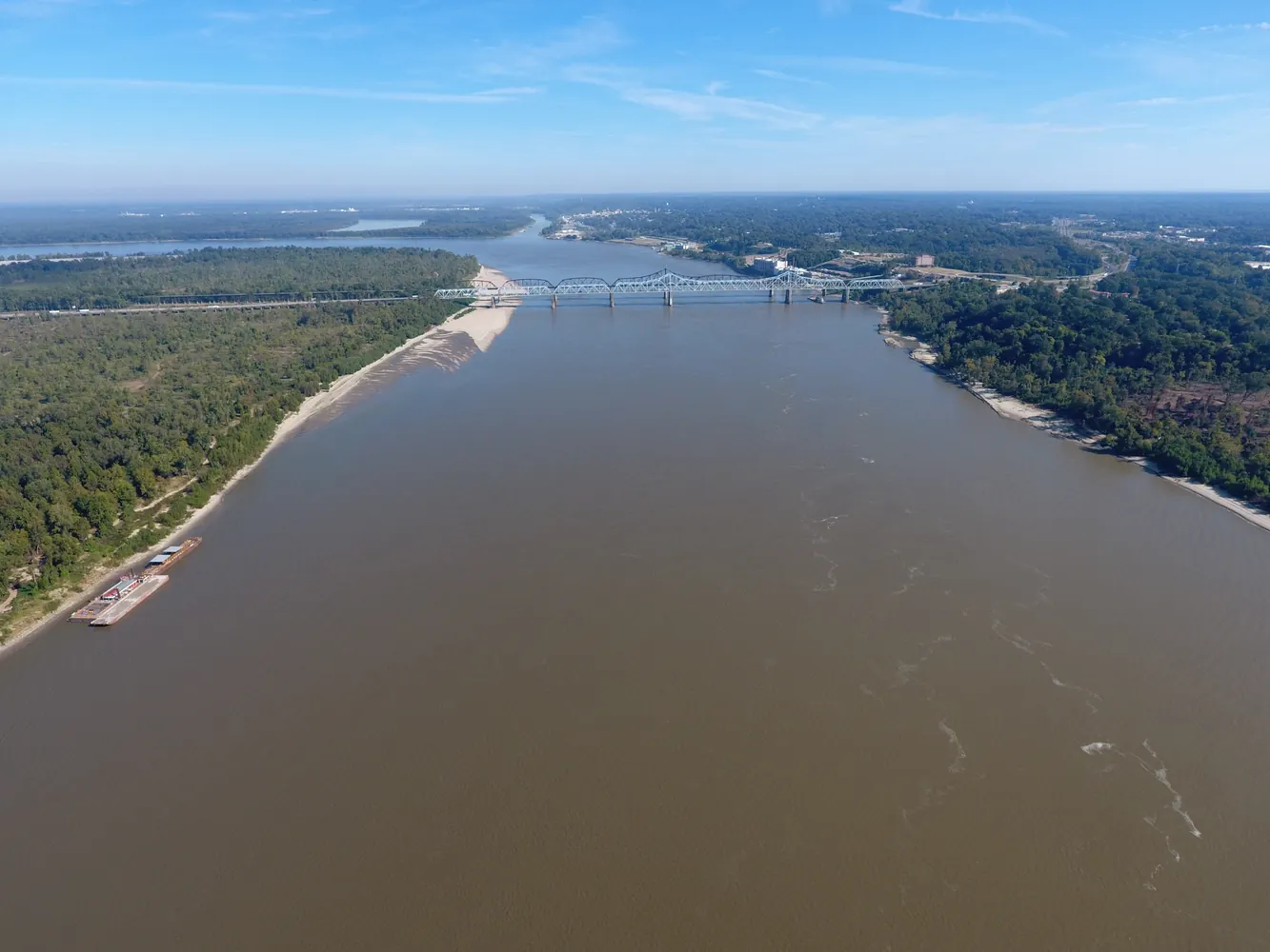
Open the USGS Mississippi water conditions map and locate your destination. Trace its waterway, then choose a monitoring station on that waterway. The nearest dot on the screen could sit on the other side of a levee or on a different tributary. A reading on the Mississippi River at Vicksburg and one on the Big Sunflower at Clarksdale describe different places.
Record the station name and number in a Rite in the Rain pocket notebook before copying a value. Open the graph and check the measurement, the unit, the time zone and the time of the last observation. An older reading can look current when a phone reloads a saved page. A blank interval on a chart is missing information.
Use the Mississippi Atlas & Gazetteer to follow a tributary across county lines. A transparent map sleeve gives you somewhere to tuck a printout with the station name and the observation time alongside it.
Stage, often labeled gage height by USGS, measures the elevation of the water surface relative to a fixed reference at that station. A reading of twelve feet does not tell you that water is twelve feet deep across the channel or on a nearby road. The bed of a stream can scour out or fill with sediment while the station’s reference point stays fixed.
Discharge describes the volume of water passing a point in a given time, commonly expressed in cubic feet per second. Two lines on a graph can therefore describe different things and use different scales. Select a single measurement first. Then zoom out far enough to see whether the most recent observation follows a rise, a fall or several days of little change.
At a public overlook, keep the phone that displays the hydrograph in a RunOff phone pouch if rain is moving in. Record the gauge units beside the number with an all-weather pen. A bare number will be hard to interpret later.
Write the station, time, observed trend and the question you still need answered, such as whether the land manager has closed a particular entrance. A gauge cannot clear a road for travel. Use local closure notices and weather warnings when choosing the route, and turn around at floodwater across a road or trail.
From a dry, open viewpoint, photograph a fixed landmark and add the station reading to your notes. Repeating that comparison over several trips can help you understand the landscape. Keep the photograph and observation date together. If you carry a paper map or printed gauge graph, a Sea to Summit Lightweight View dry bag lets you find it among your spare layers. Conditions on a tributary or behind a water-control structure may differ considerably on two days that share a main-river reading.
Charge a Nitecore USB-C power bank if the group is relying on a phone for maps and current notices. A Pelican 1040 hard case keeps the cable and small connectors together on the ride. Measure the contents before choosing the case.
As an Amazon Associate I earn from qualifying purchases. How our links work.
Copy the station name, reading, units and timestamp on one line. That makes it easier to compare successive readings from the same gauge.
Carry a printed road map and a dry layer together if your trip includes a riverside stop.
Match your date, species and property to the current MDWFP season table, then check the rules for the land you plan to visit.
Recover a missing education number, choose an approved course or connect an existing record before buying a Mississippi hunting license.
Rank the dates you can attend, find the right prerequisites and verify that your Mississippi WMA draw application reached the state.