
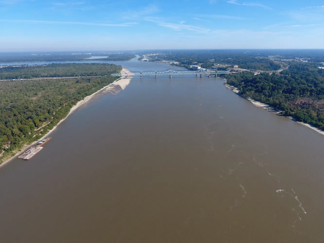
How to read a river gauge before a Mississippi trip
Choose the right station, read the trend and understand what a water-level graph can tell you about a day in Mississippi’s low country.
Match your date, species and property to the current MDWFP season table, then check the rules for the land you plan to visit.
Linked product names open Amazon. As an Amazon Associate I earn from qualifying purchases. Affiliate disclosure.
Open MDWFP’s Hunting Seasons and Bag Limits page and look for the years printed above the tables. A season that crosses New Year’s Day belongs to a two-year schedule. For a January trip, verify that the second year in that heading is the year of your trip. A search engine can surface a perfectly legible brochure that describes last winter.
Find the table for your species. Keep its column headings and footnotes visible. A deer table can distinguish between management units and categories of land. Migratory bird tables can include separate zones, split dates and possession limits. When saving a screenshot, include the heading and qualifications that give the row its meaning.
If you print the calendar, tuck it in a clear waterproof map case with the date facing out. Use a Rite in the Rain field pen to circle the relevant row once you’ve matched the land and the season year.
Start a page in a Rite in the Rain pocket notebook with the county, property name and intended entrance. Find the management unit or zone described for your species. If the boundary follows a road or waterway, identify which side contains the ground you plan to use. A town name or the mailing address of a camp can be a poor substitute for the actual property location.
Next, identify who manages the property. An area administered by the state can have its own brochure and dates. A federal refuge has its own public-use rules. Find the named area's current information and look for draw-only access, closures or activity restrictions that affect your date. Give the office the area name and date if you need help reconciling two documents.
Trace named highways and county lines in a Mississippi Atlas & Gazetteer, then check the official unit description. A Suunto A-10 compass gives the paper map an orientation at the parking area. The agency map settles the boundary question.
Write one line describing the planned day, including the species, land type, unit, date and relevant limit. Beneath it, save the state table and the area-specific document, with the date you checked them. Keep paper copies in a Nite Ize waterproof wallet. List licenses and special permits on a separate line so a valid season date cannot be mistaken for completed paperwork.
Reopen the official notices before departure, particularly after high water or a closure announcement. When passing the plan to a friend, send the links and the name of the area with the dates. That lets the next person verify the same row and see any revisions.
Carry the current documents on your phone in a RunOff phone pouch for wet days. Pack the cable with a Nitecore USB-C power bank if several people will be consulting that same phone.
As an Amazon Associate I earn from qualifying purchases. How our links work.
Write the unit, property, date range and rule publication date together when comparing two possible trips.
Carry the folded note beside your license so the details you looked up at home are easy to find at the entrance.
Choose the right station, read the trend and understand what a water-level graph can tell you about a day in Mississippi’s low country.
Recover a missing education number, choose an approved course or connect an existing record before buying a Mississippi hunting license.
Rank the dates you can attend, find the right prerequisites and verify that your Mississippi WMA draw application reached the state.