
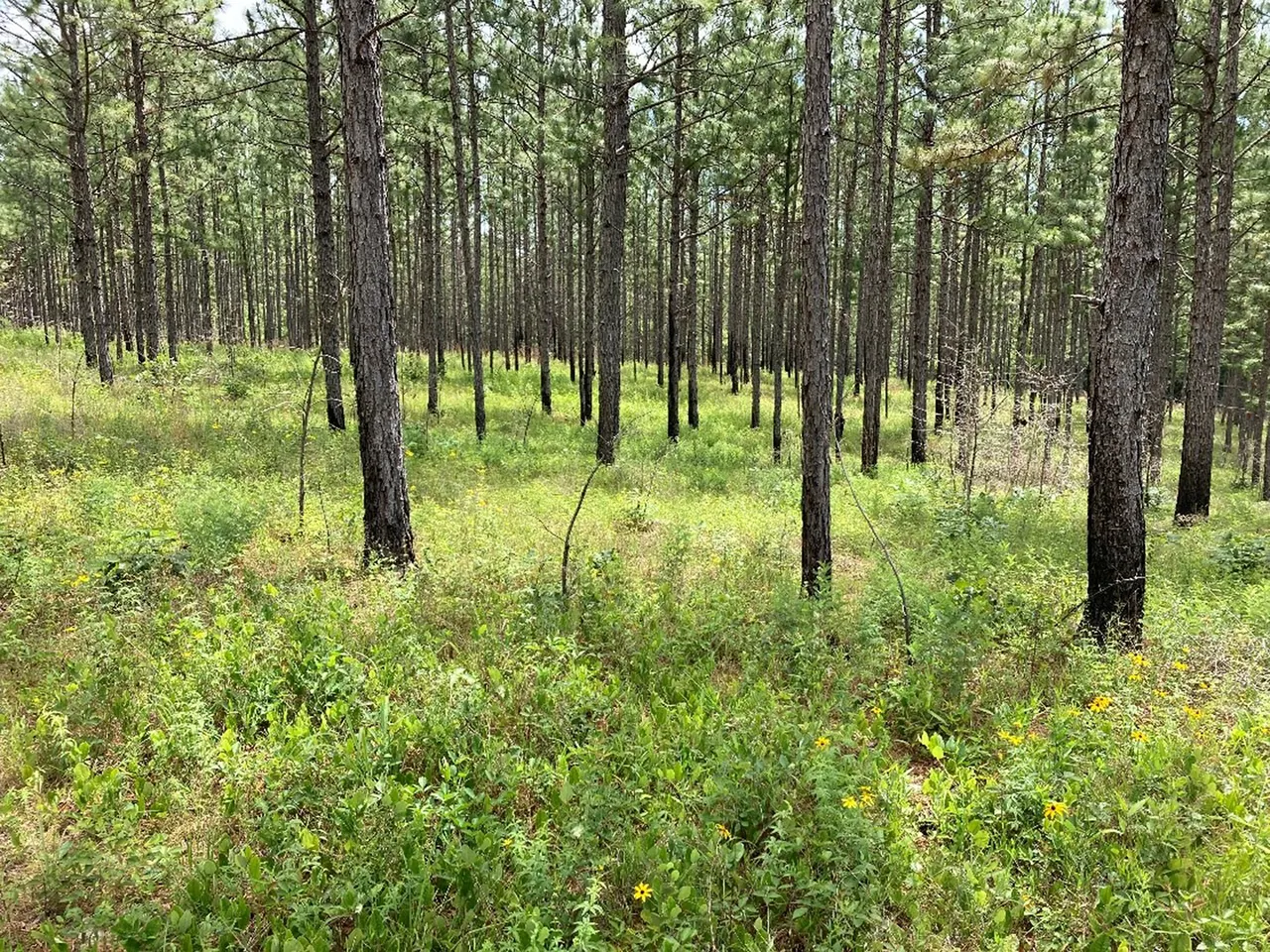
Planning your first Mississippi WMA visit
Find the right area map, check activity-specific access and build a return plan before driving to a Mississippi wildlife management area.
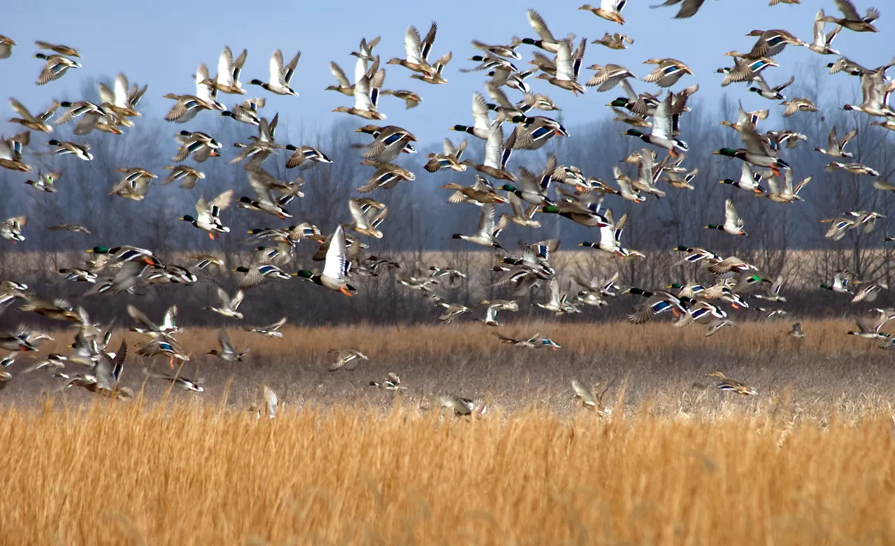
At Yazoo National Wildlife Refuge and in the rice fields beyond it, a winter’s worth of duck food depends on what survives the months between harvest and high water.
Linked product names open Amazon. As an Amazon Associate I earn from qualifying purchases. Affiliate disclosure.
The federal government bought 2,166 acres in Washington County in 1936 to give ducks and geese a place to winter. The following March it bought another 639. The birds had a refuge on paper and on the ground. They would have it for twenty years before it had a staff. The office came later still, in 1959. It is an odd chronology for a visitor accustomed to starting a refuge trip at the front desk. At Yazoo, the land came first. The refuge’s own history follows the purchases parcel by parcel.
What had the government bought? An acre is straightforward enough in a deed. For a duck crossing the lower Mississippi Valley, its value changes with the calendar and the water. Grain lying on dry ground in September may have sprouted long before December. A summer patch of smartweed that looks like weeds beside a field can hold a winter crop of seeds. The most consequential difference between two expanses of brown water may lie just below the surface, where a person looking through binoculars can see very little of it.
Yazoo belongs to the Mississippi Flyway, the migration route, and sits in the alluvial valley, the land built by the river. The names overlap so often that they can sound interchangeable. The route extends far beyond the state. The lower valley once included roughly 22 million acres of bottomland hardwood forest from southeastern Missouri to southern Louisiana, as Mississippi State and federal waterfowl researchers describe it. Mississippi’s Delta is one portion of that plain. A winter duck makes use of the landscape on terms that seldom coincide with a state line, a refuge sign or the edge of a deed.
Unfold the DeLorme Mississippi atlas to Washington County and follow the roads out past the refuge boundary. Keep a copy of the refuge’s visitor map in a Sea to Summit map case for the smaller decisions, including which stretch of shoreline is open to visitors.
A generation ago, scientists trying to count the rice available to wintering ducks faced an elementary problem. They could estimate how many acres had been harvested. They could weigh the grain left in a field after the combines passed. Yet the winter meal for which they were making plans would be served weeks later. They needed to measure the interval, and to do it across enough fields to keep an unusually productive farm or a wet autumn in one county from standing in for the whole valley.
Between September 2000 and December 2001, one phase of the effort took researchers into 110 rice fields in Mississippi, Arkansas, Louisiana and Missouri. They removed 3,780 cores. A core lifts a small, defined piece of the field, including seeds a surveyor looking down at the stubble could easily miss. Sort and weigh the grain from many such pieces, keep track of the area they represent, and the researchers can estimate a mass per acre or hectare. Repeating the work in late fall changes the question from how much the combine left to how much persisted. The team’s contemporary field account describes that labor.
The completed three-year study put average waste rice at 271 kilograms per hectare at harvest and 78.4 by late autumn. In round numbers, of every hundred pounds measured at harvest, twenty-nine remained at the later sampling. The other seventy-one pounds did not all go into ducks. Seeds germinate. Some decompose. Insects, rodents and other birds consume grain too. Mississippi State’s account of those losses describes a farm landscape already busy between the departure of a combine and the arrival of wintering birds.
Those figures belong to the years and fields in the study. A particular farm could come out quite differently. For conservation planning, even the historical result has an enduring use. If an acreage estimate assumes that the September meal will still be on the table in December, the math can be precise all the way to the wrong answer. The grain that makes the difference is the grain still there when the water and the birds arrive.
At Yazoo and other refuges, biologists use the term “moist soil” for a kind of management that takes advantage of plants already represented in the soil’s seed bank. Draw water off a wetland and vegetation can grow on the exposed ground. Grasses and sedges, along with broad-leaved plants such as smartweed, can produce seeds or underground foods. Rewetting the ground later changes which animals can reach that food. A field in this stage may look untidy to someone used to judging a crop by the straightness of its rows.
In autumn 2001 researchers sampled managed wetlands at Yazoo, Morgan Brake and Noxubee national wildlife refuges. Across the sites they estimated seed densities of 234 to 345 pounds per acre. Noxubee lies outside the Delta plain. The figures describe the impoundments sampled that fall, and “pounds” measures mass. Turning those numbers into the number of ducks a place can feed would require knowing what kinds of seeds were present, what energy the birds could obtain from them and how much of the crop was within reach. The investigators’ field report sets out the comparison alongside the rice measurements.
Consider the view from a levee. A boundary on a refuge map can mark the whole impoundment with a single color. Within that shape, a few inches of relief, the edge of last summer’s vegetation and the depth of the returning water can put food in very different situations. When a visitor calls the whole view “flooded,” the description is perfectly fair. It is also the beginning of the question that took the researchers into the mud with sampling tubes.
A soil core stays put. A mallard will cross several property lines without giving a biologist much notice. At Mississippi State, Joseph Lancaster fitted 265 female mallards with radio transmitters and followed their habitat use during winters from 2010 to 2015. The advantage of a marked bird was continuity. It allowed locations recorded in different places and at different hours to be attributed to one individual. A flock seen twice from the road cannot offer that certainty. Lancaster’s dissertation describes the study and the limits of what its results can establish.
The females used forested wetlands, wetlands with plants projecting above the water and flooded agricultural land. The mix changed between daylight and darkness. Birds also used wetlands improved through conservation programs on private land. Their apparent survival did not track neatly with their use of a single daytime habitat. Picture a duck credited to a wooded public refuge in one set of observations. Its winter may also depend on a neighboring farm and a restored wetland. Assigning the whole season’s value to the property where someone happened to see it would lose much of that story.
Mississippi’s aerial waterfowl surveys answer a different question. Biologists typically make four surveys from November through January along randomly selected east-west lines between the Mississippi River and the hill line. Observers count ducks in a 250-meter strip and record group locations. The consistent strip gives meaning to a regional estimate. The plane can cover far more country than a person on a levee, although only a portion of the Delta lies inside those strips on any one survey. A dot on the published map is an observation on a particular flight. A blank expanse between lines is especially poor evidence that an expanse of country held no birds.
At an overlook there is time to watch the same bird change posture several times. A Therm-a-Rest folding seat pad takes the chill off a damp bench. An OP/TECH binocular harness keeps the optics close while you move between the shelter and the rail.
The first purchases at Yazoo were part of a federal effort to secure a chain of refuges for migratory birds. The refuge continued to grow in pieces. By July 1969 it had reached 12,471 acres, with purchases from individual owners and hunting clubs. In 1992 the addition of the 470-acre Cox property brought the total to 12,941. Those dates in the refuge history cover more than half a century. Long stretches of steady ownership, invisible in a visitor’s photograph, are among the important things a refuge gives a migratory bird.
The Federal Duck Stamp still finances that kind of long-term protection. The Fish and Wildlife Service says 98 percent of its purchase price goes toward habitat acquisition and protection, including conservation easements. An easement can protect habitat on land that continues in other ownership. A stamp buyer therefore helps fund a system in which some important places remain private. Buying the stamp does not itself turn a wintering duck’s entire neighborhood into a place open to visitors.
Winter drizzle complicates an identification when drops collect on the eyepieces. Carry a dry MagicFiber optical cloth for the glass and a small waterproof notebook for the marks you could actually see before the bird dipped out of view.
For a publicly accessible view at Yazoo, the refuge describes a quarter-mile route along the Holt Collier Boardwalk to an observation platform on Lizard Lake. Check the refuge’s visitor information for current access before setting out. From the platform, Nikon PROSTAFF P7 8×30 binoculars can bring a bird at the edge of open water into view without shortening the distance between observer and bird. For a puzzling duck, note what was visible while it swam or turned, then use The Sibley Field Guide to Birds of Eastern North America to compare those details with the illustrations.
There is a limit to what even a good view across Lizard Lake can show. It can give you a bird’s posture on the water, its company and perhaps its name. The history of its winter is scattered farther afield. Part of it lies in a federal land purchase from 1936, part in the seed bank of a patch of last summer’s weeds, part in rice that survived the autumn on somebody else’s ground. Wildlife managers have spent decades trying to see all three from the same place. A duck can put them together in the course of an ordinary day.
As an Amazon Associate I earn from qualifying purchases. How our links work.
Use the waterfowl illustrations to compare the field marks you actually observed from the boardwalk.
Compact binoculars for observing waterbirds and wetland vegetation from the designated viewing platform.
Find the right area map, check activity-specific access and build a return plan before driving to a Mississippi wildlife management area.
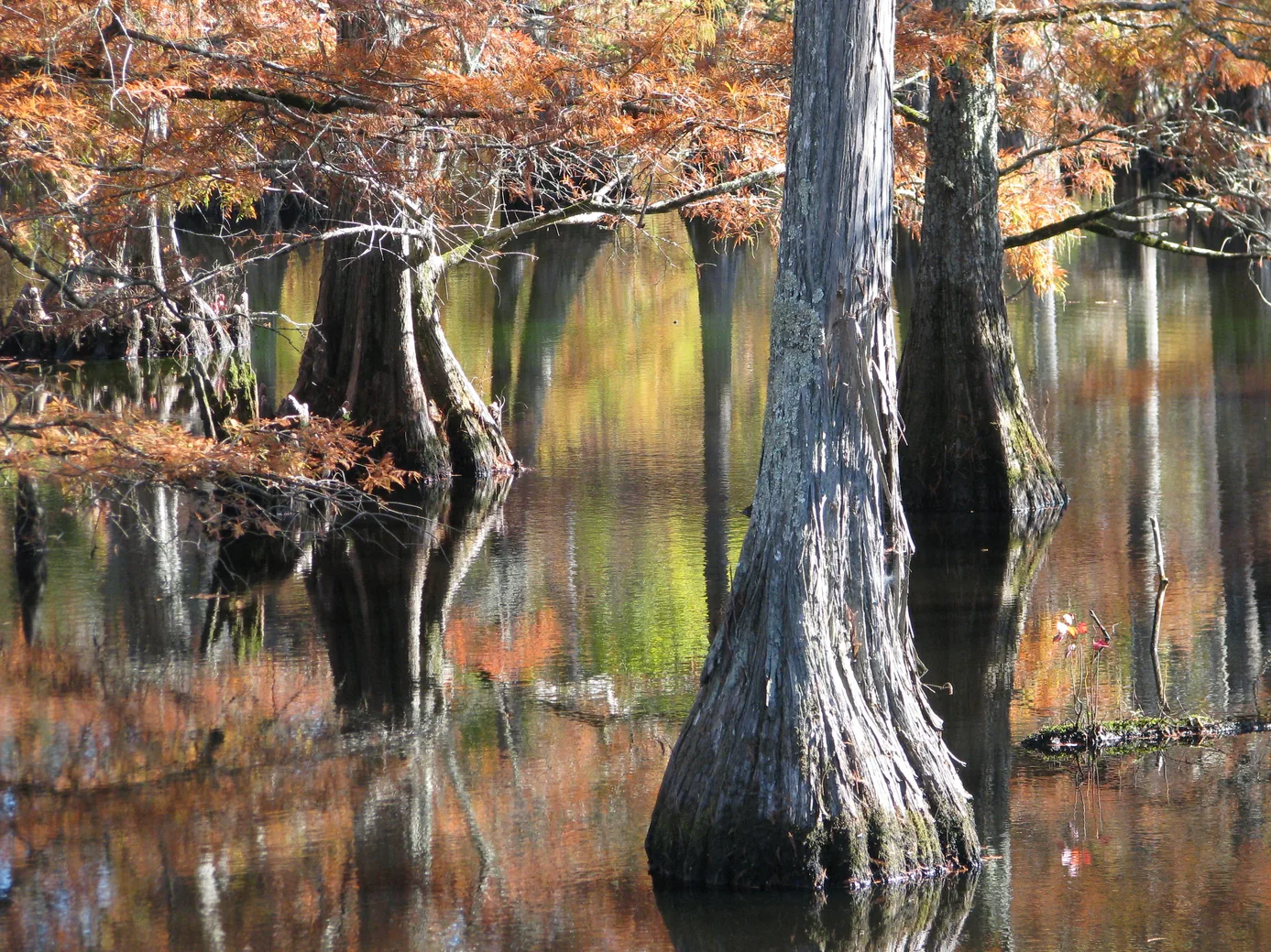
Plan a wildlife-watching stop near Starkville with a short boardwalk, a lake overlook and time to notice what moves along the water’s edge.
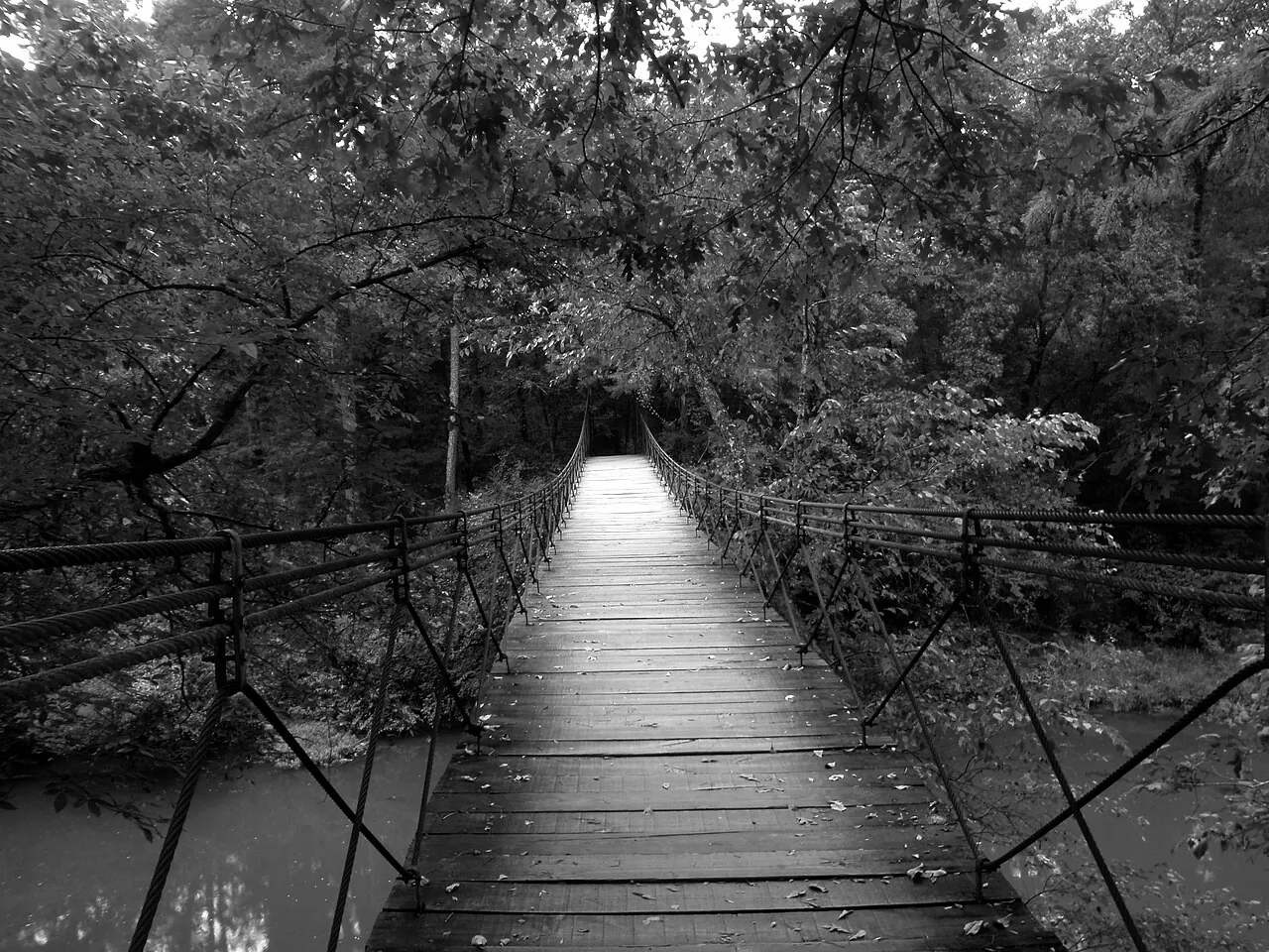
Follow Bear Creek into Mississippi’s Appalachian foothills with a guide to the park map, the Swinging Bridge and the return route.