
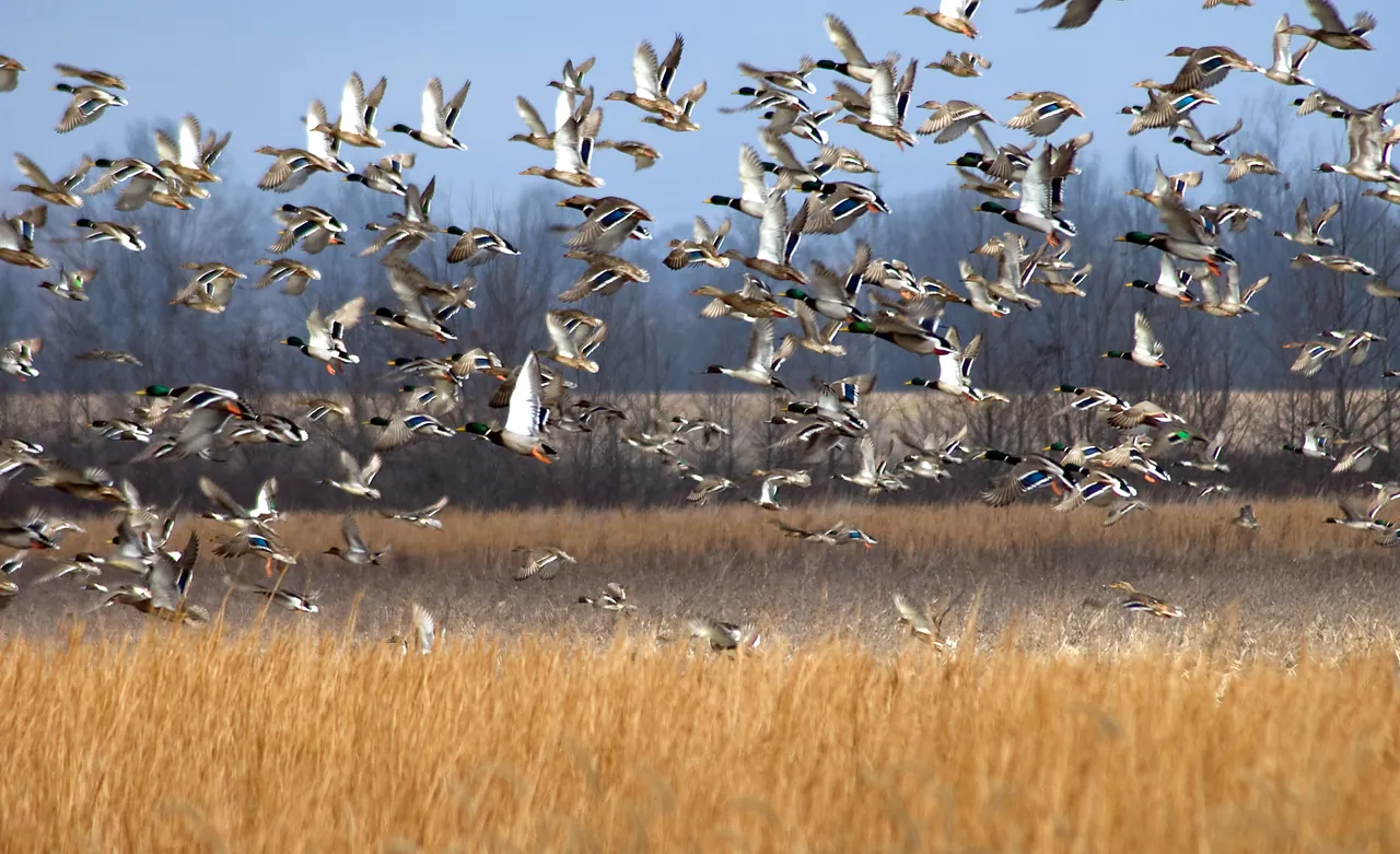
What feeds the Mississippi Delta’s winter ducks?
At Yazoo National Wildlife Refuge and in the rice fields beyond it, a winter’s worth of duck food depends on what survives the months between harvest and high water.
Plan a wildlife-watching stop near Starkville with a short boardwalk, a lake overlook and time to notice what moves along the water’s edge.
Linked product names open Amazon. As an Amazon Associate I earn from qualifying purchases. Affiliate disclosure.
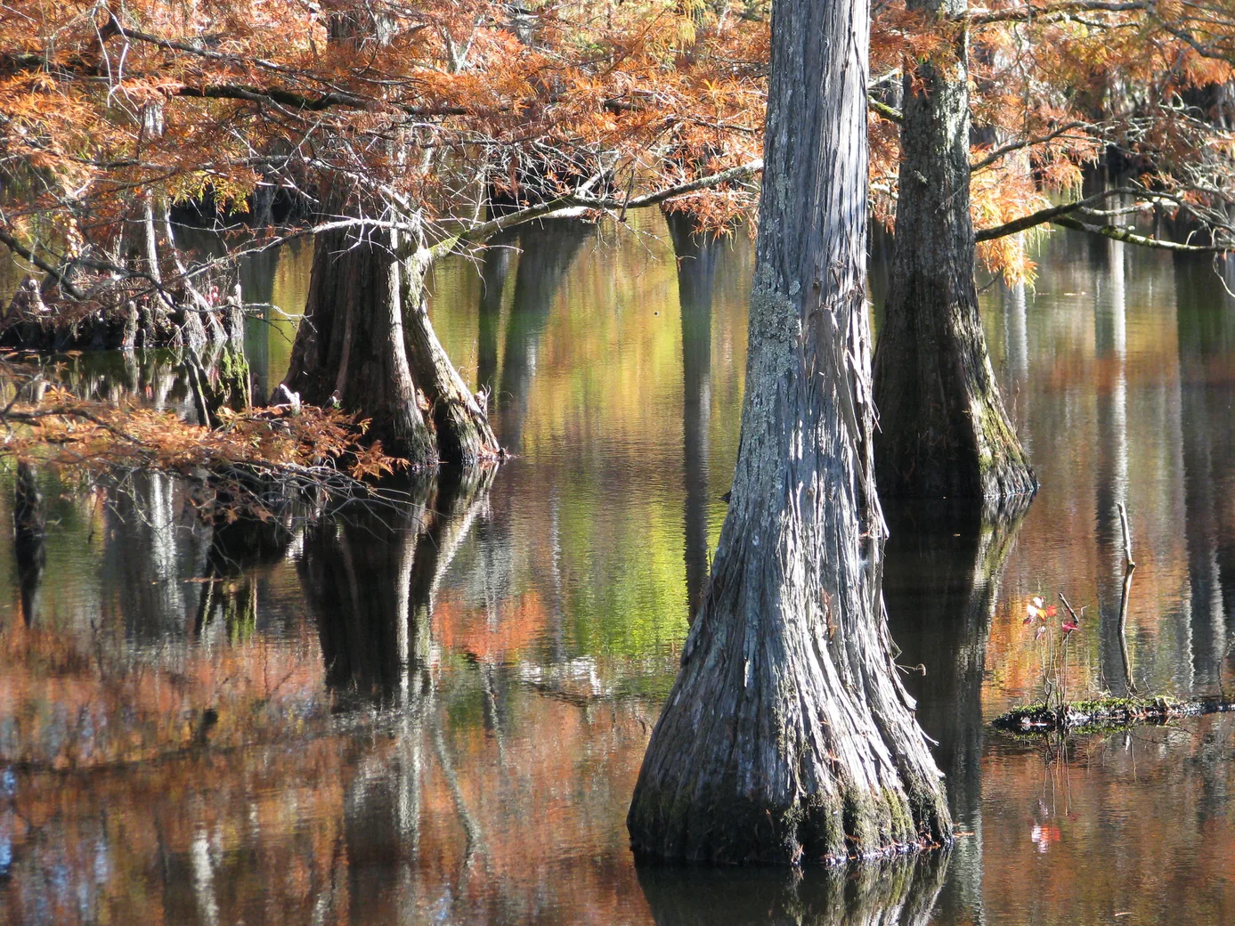
Sam D. Hamilton Noxubee National Wildlife Refuge lies in east-central Mississippi. For a first visit, find Bluff Lake and the visitor center on the refuge map. Save the official directions, trail information and a route to the signed entrance. The refuge lists the Bluff Lake Boardwalk at 0.15 mile. That short distance leaves room for an unhurried stop, especially if someone in your group prefers frequent rests.
Check conditions before leaving home. The refuge reports that some trails can flood in winter and spring, and it designates trails for daylight use. Ask the refuge about current surface and access conditions if your group needs a step-free route. A short distance by itself tells you little about whether a boardwalk or its approach will work for a particular visitor.
Slip the trail map into a waterproof map case for the boardwalk rail. If you take notes or use the phone camera in the rain, check that your device and its case fit inside a RunOff phone pouch before leaving home.
Choose a spot where others can pass and give your eyes a minute to find movement before raising a pair of Nikon 8×30 binoculars. Follow the waterline with your eyes until you find a fixed landmark. Use it to describe a sighting to a companion. A bird resting beside the second trunk to the left of a snag is easier to share than a hand waved toward the far bank.
Divide the view into the near water, the far bank and the sky above the trees. Watch each in turn. Write down a bird's posture, bill shape, flight pattern or behavior before trying to name it. Compare that description with the drawings in Sibley’s eastern bird guide. Sun glare can hide color, especially on distant water. A useful field note can end with an unidentified bird and a good description.
For a longer watch from a bench, tuck a Therm-a-Rest Z Seat under you and set the eyepiece caps where they can’t roll off the deck. A clean MagicFiber lens cloth belongs in its own pocket away from boardwalk grit.
If conditions and time allow, compare another trail from the refuge directory. The Beaver Dam Trail is listed at 1.22 miles, a different commitment from the short boardwalk. Check posted notices for the trail you choose. There are alligators in refuge waters. Use designated viewing areas, give animals space and follow the refuge rules for leashed pets.
At the end, save one thing you want to compare on your next visit. That might be the exposed length of a particular log or the number of birds using a shallow edge during a timed observation. A ten-minute record from one known place gives a later visit a purpose.
The longer walk may call for a Daylite 13-liter pack with room for your field guide and water. A mosquito head net can go in the top pocket so you can reach it without unpacking on a narrow path.
As an Amazon Associate I earn from qualifying purchases. How our links work.
At the lake overlook, rest your elbows on the rail to steady your view of a bird on the far shoreline.
Bookmark the waterbirds before heading out. Compare the bill and head shape while the bird is still in view.
At Yazoo National Wildlife Refuge and in the rice fields beyond it, a winter’s worth of duck food depends on what survives the months between harvest and high water.
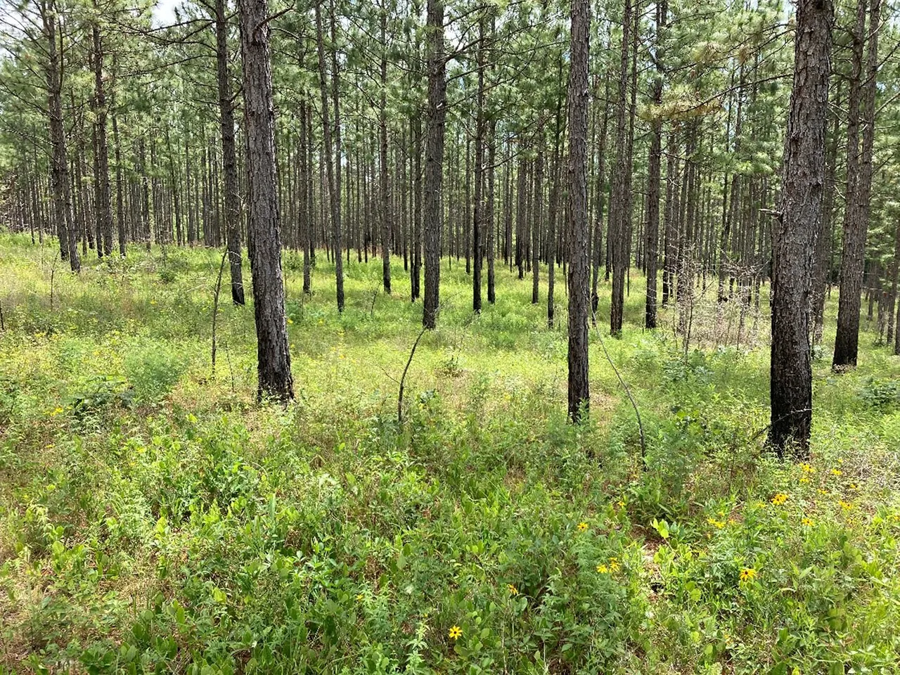
Find the right area map, check activity-specific access and build a return plan before driving to a Mississippi wildlife management area.
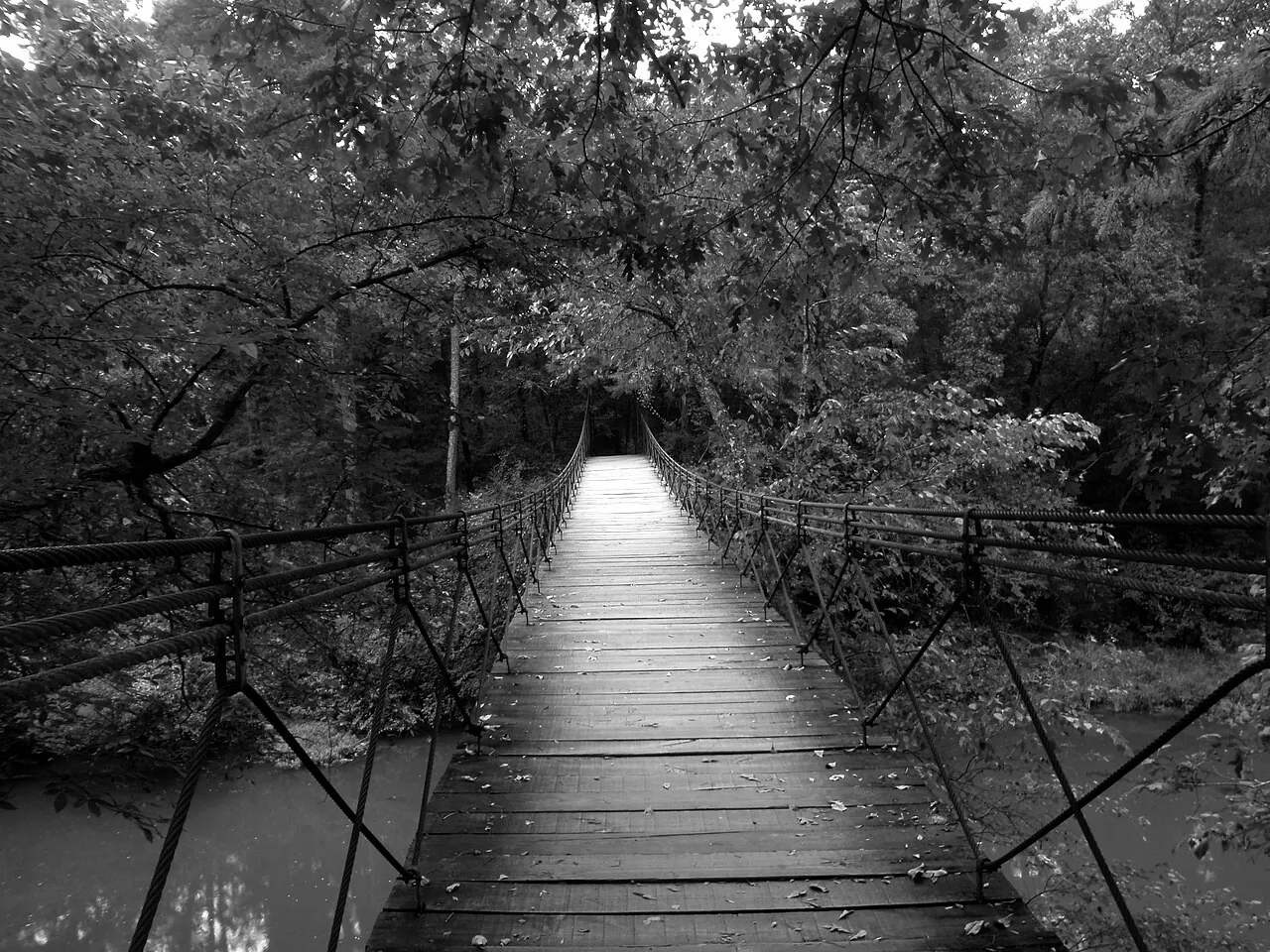
Follow Bear Creek into Mississippi’s Appalachian foothills with a guide to the park map, the Swinging Bridge and the return route.