
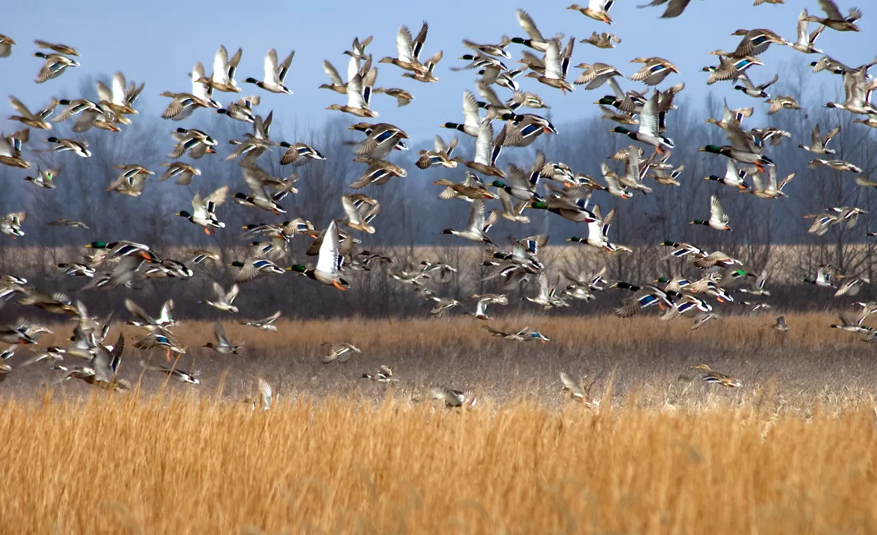
What feeds the Mississippi Delta’s winter ducks?
At Yazoo National Wildlife Refuge and in the rice fields beyond it, a winter’s worth of duck food depends on what survives the months between harvest and high water.
Follow Bear Creek into Mississippi’s Appalachian foothills with a guide to the park map, the Swinging Bridge and the return route.
Linked product names open Amazon. As an Amazon Associate I earn from qualifying purchases. Affiliate disclosure.
At Tishomingo State Park in northeast Mississippi, the trail number matters. The state identifies Trail 7, the Outcroppings Trail, as the park's loop. The other named routes have separate starting and ending points. A mile quoted for one of those routes can turn into two miles when the car is still at the beginning.
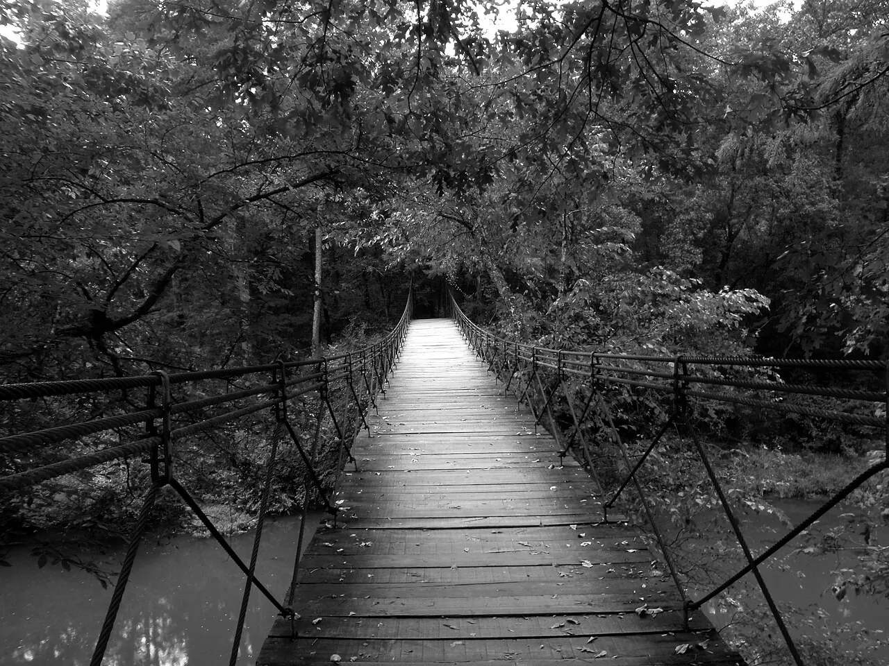
Find the Swinging Bridge on the official trail map. The state brochure describes the two-mile Outcroppings Trail beginning and ending here. Trace it all the way around before committing to the distance. A party that wants a shorter outing can choose an out-and-back portion and agree on a turnaround time. Check the park's current notices or ask at the office about the bridge and trail before you start.
Keep a paper trail map folded to Bear Creek in a clear map sleeve. The straight edge of a Suunto A-10 helps line up a bend in the creek with the orientation of the map at a marked junction.
This corner of Mississippi belongs to the Appalachian foothills. Bear Creek and the rock outcrops give you an opportunity to connect a topographic map to terrain you can see. On the park map, closely spaced contour lines indicate a steeper change in elevation. Find where the trail approaches a slope and where the ground levels near the creek.
Pause on the established path where you have a clear view across the valley. Pick out a ridge, the creek below it and the slope between them. Compare light on exposed rock with the shade at the base of a bluff. The landforms can make two patches of woods a short walk apart feel quite different. A Patagonia Torrentshell 3L has underarm vents you can open on the climb if showers move in. Wet leaves on stone also change footing, so allow time for the slower sections.
Test your footwear with the Darn Tough cushioned boot socks you plan to wear on the rock and steps. A 13-liter Osprey Daylite leaves both hands free for the rail while carrying water and a spare layer.
The suspended bridge crossing Bear Creek dates to 1938 and the work of the Civilian Conservation Corps. Look at how the crossing connects the park’s built landscape to the trail across the creek. Knowing where the bridge sits in relation to the parking area and stream is also a simple way to orient your map at the start and finish.
For another walk, choose a point-to-point trail only after arranging how you will return. The park brochure shows trailheads, numbered routes, the park roads and the creek on the same sheet. Fold or save it with enough surrounding map visible to recognize your approach. Keep a paper copy with your spare layer in a Sea to Summit Lightweight View dry bag on damp days.
A pocket notebook lets you copy the date and details from the interpretive sign without lingering in the bridge opening. Fill a wide-mouth Nalgene bottle before parking if you plan to walk the whole loop.
As an Amazon Associate I earn from qualifying purchases. How our links work.
Pack a rain layer where you can reach it on the return walk from Bear Creek.
Stow the printed park map and a change of socks together for a damp day on the trail.
At Yazoo National Wildlife Refuge and in the rice fields beyond it, a winter’s worth of duck food depends on what survives the months between harvest and high water.
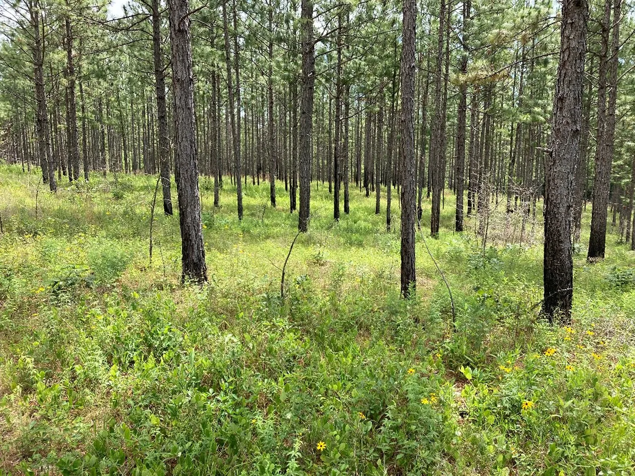
Find the right area map, check activity-specific access and build a return plan before driving to a Mississippi wildlife management area.
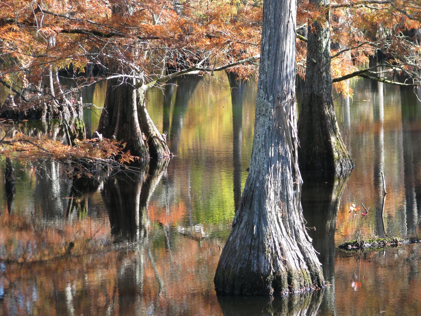
Plan a wildlife-watching stop near Starkville with a short boardwalk, a lake overlook and time to notice what moves along the water’s edge.