
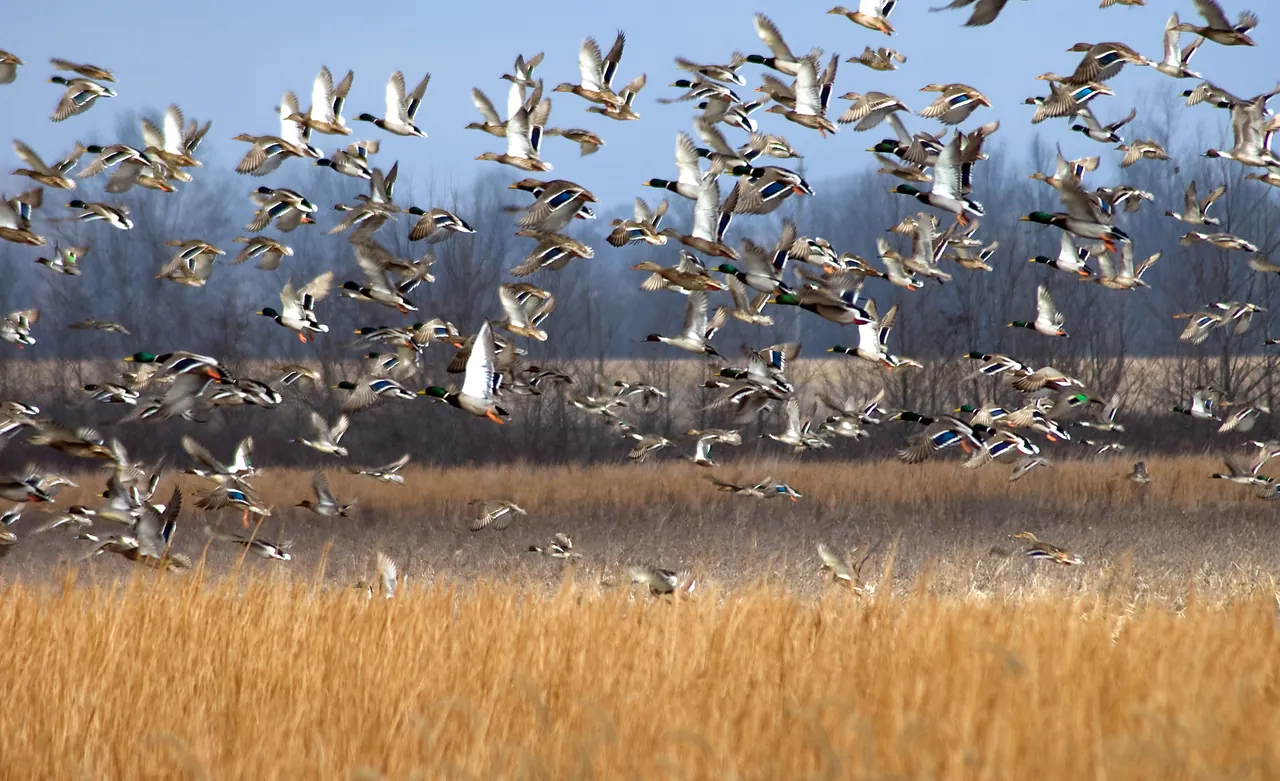
What feeds the Mississippi Delta’s winter ducks?
At Yazoo National Wildlife Refuge and in the rice fields beyond it, a winter’s worth of duck food depends on what survives the months between harvest and high water.
Find the right area map, check activity-specific access and build a return plan before driving to a Mississippi wildlife management area.
Linked product names open Amazon. As an Amazon Associate I earn from qualifying purchases. Affiliate disclosure.
Start in the Mississippi Department of Wildlife, Fisheries, and Parks directory and open the page for the exact wildlife management area you want to visit. Save its map and current area regulations. A printed map rides well with a spare shirt in a Sea to Summit 13-liter dry bag. A search result for the area name may send your navigation app to the middle of a tract. Identify the marked entrance or parking area, the public road it joins and the route out.
Look for private parcels on and around the map. A public tract beyond a private field can look deceptively close to the highway. Trace the approach from the public road to the designated entrance. If the route crosses property with unclear access, call the area office before making it part of your plan.
For the drive, the Mississippi Atlas & Gazetteer gives you a wider view of county roads if the usual approach is closed. Put the area manager’s current entrance map in a clear waterproof map case where the passenger can read it.
Write down what everyone in your group intends to do. Walking, photographing wildlife, camping and participating in a draw hunt can trigger different rules. Read both the basic statewide WMA regulations and the specific area's rules. Check dates, hours, user permits, activity restrictions and any temporary closure. Area rules can differ with land ownership, and a hunt drawing has its own application and permit process.
A practical call to the area office gives a date, a named entrance and an activity. Ask whether that entrance will be open for your intended use and whether the road is passable. A general question about whether a WMA is open can miss a closed gate on the only approach you planned to use.
For the first walk from the parking area, pack a Suunto A-10 compass and keep an Allen blaze-orange vest where it fits over your outer layer. Check the area’s visibility requirements and the listed coverage of the size you choose.
MDWFP provides WMA check-in and checkout through its HuntFish app. Follow the agency's setup instructions at home, then open the WMA feature and locate your area. Save a separate copy of the map and directions. If the app is unavailable, consult the area's official instructions for permitted alternatives before setting out.
At the entrance, compare the posted name and rules with your saved copy. Keep paper permits separate from the folded map in a Nite Ize waterproof wallet so you can reach them at the gate. Pick a meeting point and return time that everyone can explain without a phone. When the outing ends, complete the required checkout. Keep the area name and office contact with your map so a question about a future visit can go straight to the right people.
Test the cable from your phone to a Nitecore NB10000 Gen 3 power bank before depending on it for checkout. A Streamlight pocket flashlight makes the kiosk legible after sunset and leaves the phone’s remaining charge available for the app.
As an Amazon Associate I earn from qualifying purchases. How our links work.
Keep a folded copy of your permit and the area contact number together for check-in.
Pack the full-size area map and a spare shirt together. The clear window makes it easier to pick out the folded map without unpacking at the gate.
At Yazoo National Wildlife Refuge and in the rice fields beyond it, a winter’s worth of duck food depends on what survives the months between harvest and high water.
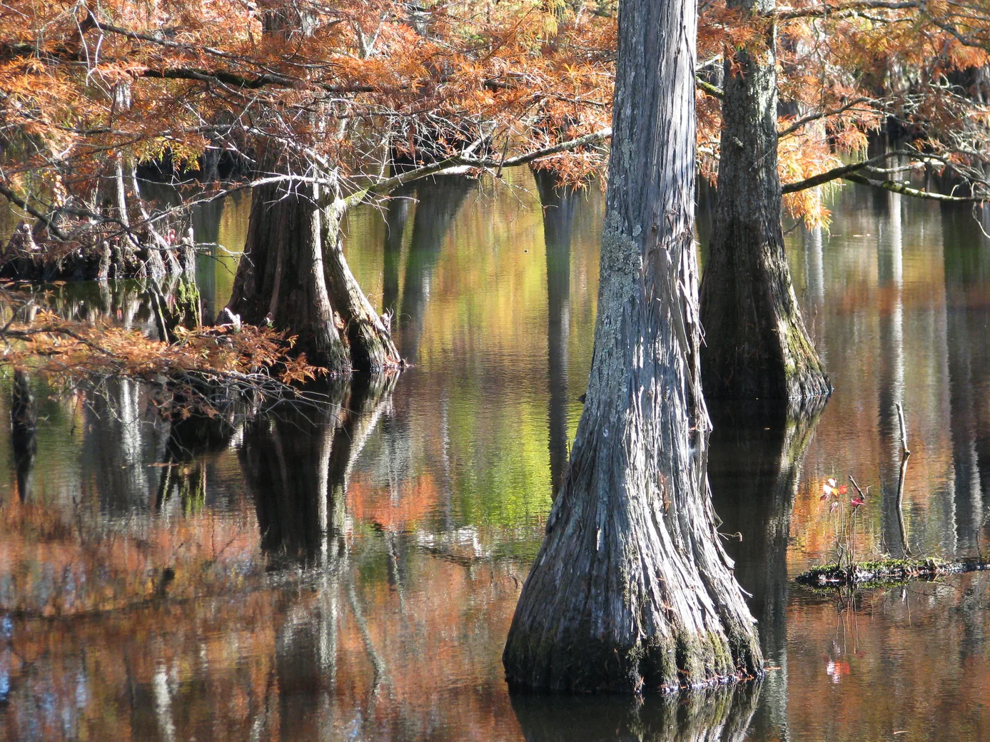
Plan a wildlife-watching stop near Starkville with a short boardwalk, a lake overlook and time to notice what moves along the water’s edge.
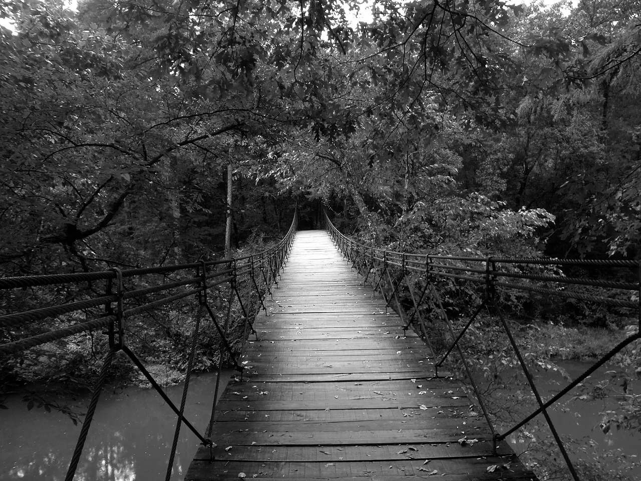
Follow Bear Creek into Mississippi’s Appalachian foothills with a guide to the park map, the Swinging Bridge and the return route.