

What feeds the Mississippi Delta’s winter ducks?
At Yazoo National Wildlife Refuge and in the rice fields beyond it, a winter’s worth of duck food depends on what survives the months between harvest and high water.
Bullen Creek, Sunken Trace and Grindstone Ford offer three different reasons to get out of the car north of Natchez.
Linked product names open Amazon. As an Amazon Associate I earn from qualifying purchases. Affiliate disclosure.
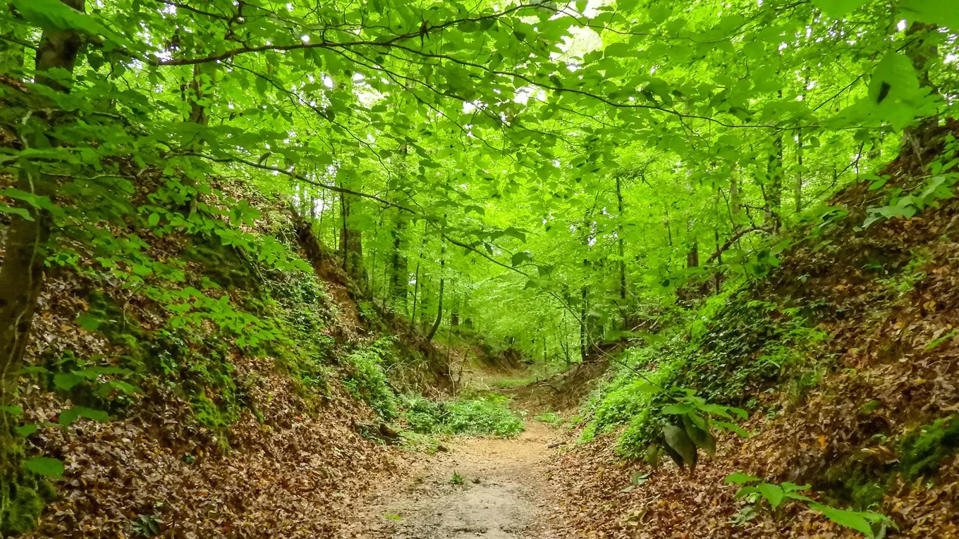
Pick Bullen Creek for a close look at a mature hardwood forest. The National Park Service’s trail directory lists an interpretive walk of about 1,100 feet. For a family outing, let each person choose one feature to follow for the whole walk. Compare the shape of tree crowns, the texture of the trunks or the amount of light reaching the forest floor.
Look for a gap in the canopy that you can see from the path, then compare the ground under the gap with the shade nearby. If trees still carry their leaves, try to connect a leaf overhead to a particular trunk. After leaf fall, compare buds, bark and branching. An interpretive stop has more meaning when you have already spent a minute looking for yourself.
The Mississippi road atlas puts these three mileposts in the context of the surrounding county roads. Keep the Park Service map in a clear map sleeve for the short walk from the pullout.
Here the old travel corridor sits below the surrounding surface. The Park Service attributes that sunken form to repeated traffic on easily eroded loess soil. It lists a walk of about 600 feet. Loess is fine sediment deposited by wind. Where people and animals concentrated travel, that soft material could wear away over generations.
Study the side profile from the designated path. Imagine a line drawn between the tops of the two banks, and compare it to the present tread below. A photograph looking along the path shows the corridor; one taken from an allowed side view shows its depth more clearly. Stay on the marked route to protect the soft banks.
Along the sunken road, use Peterson’s eastern tree guide to compare trees above and below the bank. A Carson TriView loupe gives fallen leaves a closer look without having to climb the exposed sides.
This roughly half-mile loop leads to part of the Old Trace and an old cemetery. Choose it when the group wants a longer stop with both landscape and human history. For a picnic between walks, a Coleman Chiller 16-quart cooler fits a small lunch in the car. Read the on-site interpretation before moving on, give other visitors room at the markers and leave artifacts where you find them.
Arrange the three stops in increasing milepost order if you drive north from Natchez. Write the mileposts in a Rite in the Rain pocket notebook so passengers can call out the next stop. Check current park alerts before setting out and budget separately for the drive, time on each path and time spent reading. A short trail with several good stopping places can easily occupy more of the morning than its distance suggests.
An Igloo MaxCold ice block gives the truck cooler a reusable cold source between stops. Fill a Nalgene wide-mouth bottle for each walker before putting the cooler back in the vehicle.
As an Amazon Associate I earn from qualifying purchases. How our links work.
Keep lunch and drinking water together in the car while making the three short stops.
Give each stop its own page. A quick sketch of the Sunken Trace cross section is an easy detail to compare with the ground at Bullen Creek.
At Yazoo National Wildlife Refuge and in the rice fields beyond it, a winter’s worth of duck food depends on what survives the months between harvest and high water.
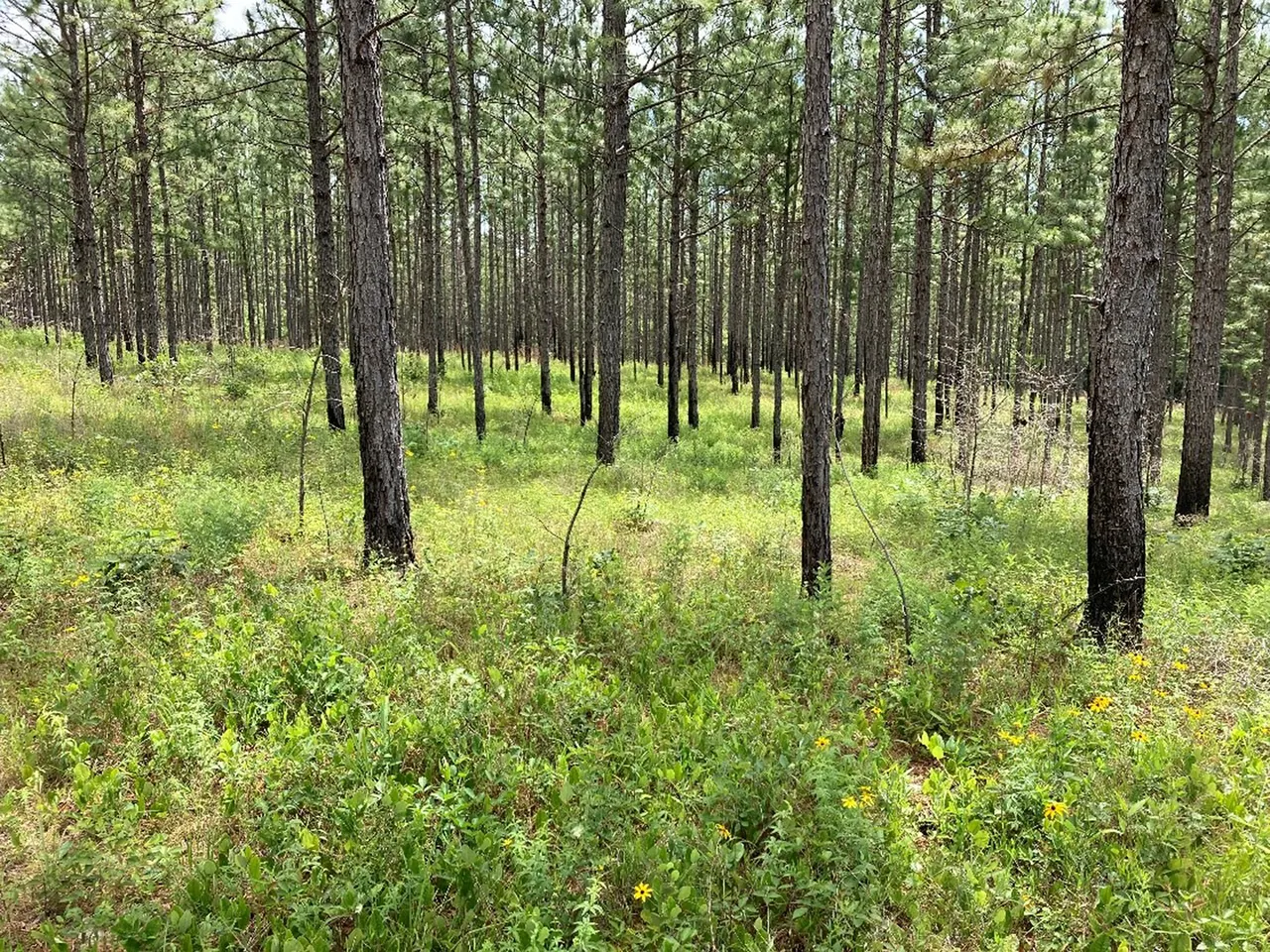
Find the right area map, check activity-specific access and build a return plan before driving to a Mississippi wildlife management area.
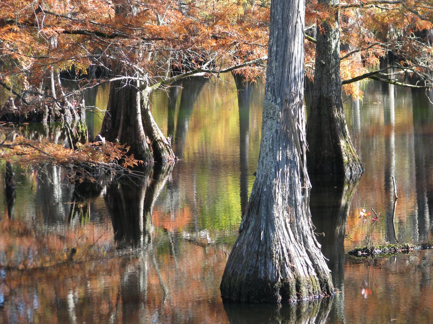
Plan a wildlife-watching stop near Starkville with a short boardwalk, a lake overlook and time to notice what moves along the water’s edge.