
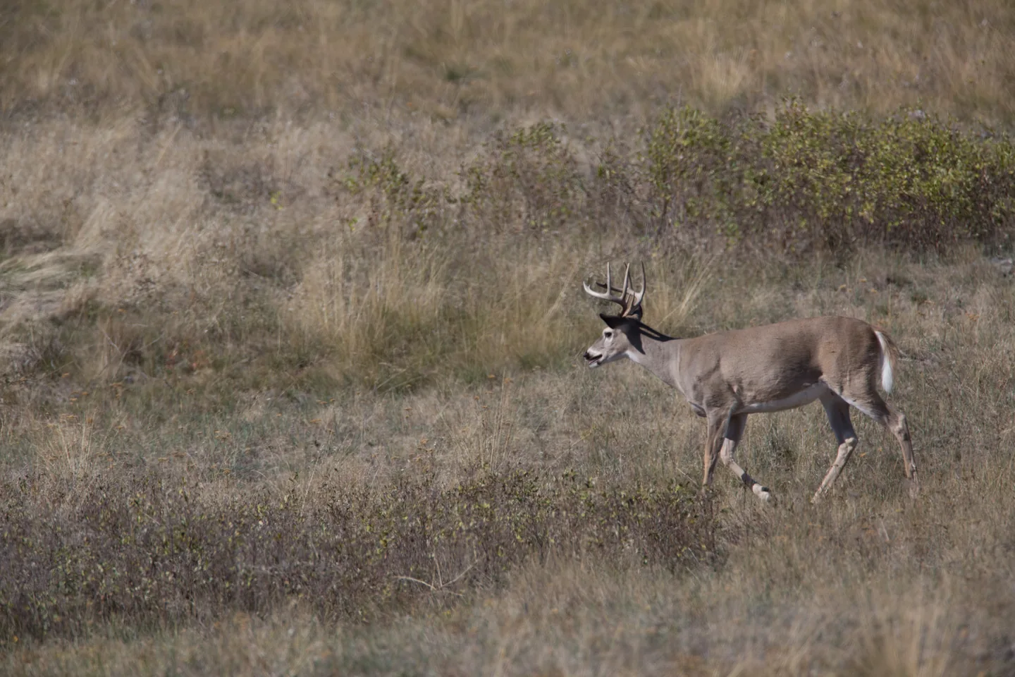
How Mississippi brought back its white-tailed deer
A fence at Leaf River helped rebuild Mississippi’s deer herd. Two generations of deer at Mississippi State later revealed how much the land still shapes each animal.
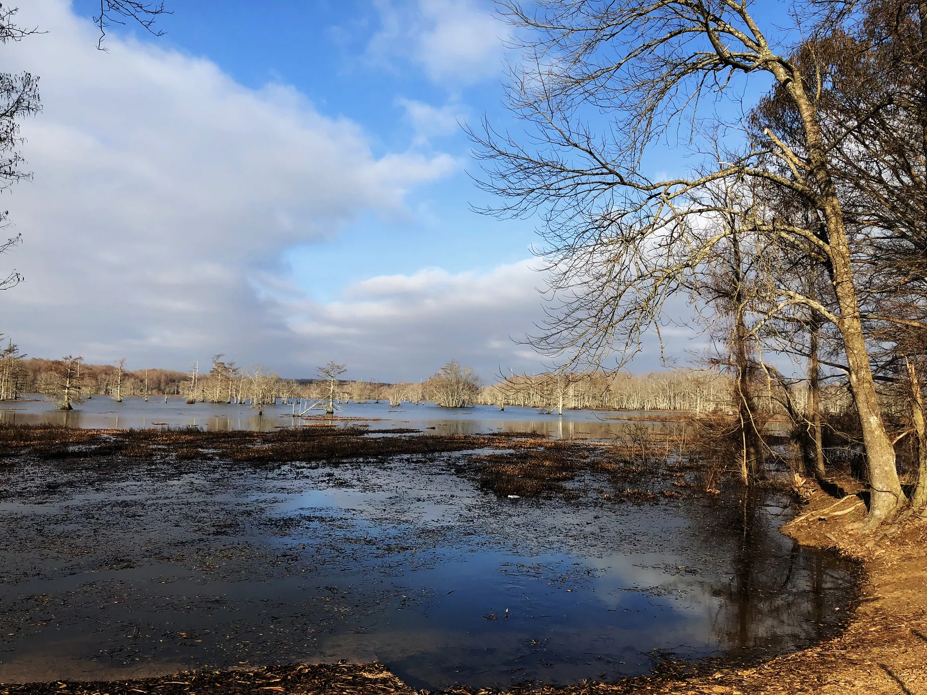
At Panther Swamp, a rise of a foot can change the forest. The trees tell you where the floodwater lingers after the bayous begin to drain.
Linked product names open Amazon. As an Amazon Associate I earn from qualifying purchases. Affiliate disclosure.
The Mississippi Delta can look flat enough to draw with a ruler. At Panther Swamp National Wildlife Refuge, the Fish and Wildlife Service describes ridges that sometimes rise barely a foot above the adjacent swamp. A boot crosses that much elevation without much effort. A tree rooted there for fifty years experiences the difference every time water comes up.
Start with a question you can answer from a public road or overlook. Where does the water appear to stay longest? Pick one view that includes both standing water and ground that rises away from it. Look along the bank for a change in the trees. The edge of the water today and the edge of the wettest forest may fall in quite different places.
Put the refuge map in a TPU map case with the arrow for north still visible. An inexpensive Suunto baseplate compass helps orient the bayou bend on the page to the one beside the trail.
At Panther Swamp, cypress and tupelo occupy low places where water collects. Buttonbush grows along wet margins. Move your eye toward slightly higher ground and you may find overcup oak and bitter pecan in the transition. Farther up, willow, water and Nuttall oaks occur on ridges. That sequence describes this refuge. Across the Delta, a bayou, roadbed or water-control structure can change where water goes.
A fallen leaf can help with a tree identification, though the wind and the last rise may have carried it away from its trunk. From the overlook, Nikon PROSTAFF P7 8×30 binoculars can bring attached leaves into view. Compare their shapes with the bark and branching below. If the crown is too high to see, leave the tree unnamed in your notebook. A sketch of where it stands will still mean something when you come back.
Oak leaves on the ground are easier to sort with A Peterson Field Guide to Eastern Trees. For buds and leaf undersides, carry the much smaller Carson folding loupe where you can reach it without opening your pack.
A slough is a low channel or depression. An oxbow is a curve of a former river channel cut off from the main flow. Look at an aerial map before a visit and trace a crescent with your finger. From the road, that wide bend may reveal itself in pieces, first as open water, then as a line of trees curving away. Bayous drain floodwater slowly across Panther Swamp. Their paths help explain why water persists after higher ground dries.
Take one wide photograph from a spot you can identify on your next visit. Include a fixed point such as a distinctive forked trunk. In a Rite in the Rain pocket notebook, record the date, the visible waterline and the first patch of exposed ground. Repeat the photograph in another season. An apparently empty stretch of winter water may become a strip of leafy ground cover. The comparison can teach you more about a particular stand than a day of naming trees.
Panther Swamp and Dahomey National Wildlife Refuge offer two places to explore this landscape. Each refuge manages visitor access separately. Check the refuge's current public-use information for open roads, activities and closures before choosing a stopping place.
Spring and autumn reward different kit. A mesh head net is handy when gnats collect around your eyes under the canopy. On a damp winter visit, a folding seat pad gives you a dry place on an observation bench while you draw the waterline.
As an Amazon Associate I earn from qualifying purchases. How our links work.
From the overlook, look up into the crown for leaves that are still attached to the tree you are trying to identify.
Sketch the bank and mark the waterline against a forked trunk. Bring the sketch back after the next rise to see what changed.
A fence at Leaf River helped rebuild Mississippi’s deer herd. Two generations of deer at Mississippi State later revealed how much the land still shapes each animal.
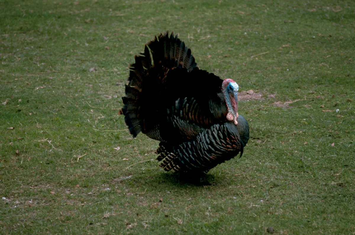
Mississippi hunters reported 17,907 wild turkeys in spring 2026. Behind that record lie three decades of field notes, summer brood counts and a new conservation stamp.
Learn the difference between browse, forbs and mast, then use those three food groups to read a patch of Mississippi deer habitat.